 Fort McCoy's Maps
** New maps posted 17 November 2025**
Fort McCoy Maps (click on a map to open)
Make sure you are using the correct map for your activity.
- Small Game/Regular Archery/ Turkey Map (Appendix C)
- Gun Deer Map (Appendix D)
- Fishing Map (Appendix E)
- Trapping Map (Appendix G)
- Non-Hunting / Non-Fishing Activities Map (Appendix H)
- Cantonment Archery Map (Appendix F) - Contact the Permit Sales Office to obtain map (502) 898 - 3337
**ALWAYS CHECK THE OPEN AREA STATUS TO MAKE SURE THE TRAINING AREA/LAKE IS OPEN PRIOR TO ENTERING.**

Fort McCoy GeoPDF Maps
What is a GeoPDF Map:
1. Geographic Referenced PDF (GeoPDF) maps have been developed to give hunters, trappers, anglers, and non-hunting/fishing recreationalists the ability to view their location and more, on their personal device (smartphone) using one of many PDF Map Apps. This will help users navigate as well as identify where they are within the installation.
2. The GeoPDF maps must be used in conjunction with the Game Line posting. It is the user’s responsibility to check the Game Line and not enter any closed training areas.
Click here for detailed instructions on how to use GeoPDF Maps
Click on below a GeoPDF map to open
- GeoPDF Map Small Game/Archery/Fall Turkey
- GeoPDF Map Gun Deer
- GeoPDF Map Fishing
- GeoPDF Map Trapping
- GeoPDF Map Non-Hunting/Non-Fishing
Firewood cutting maps are located in the menu bar under Firewood & Forest Products
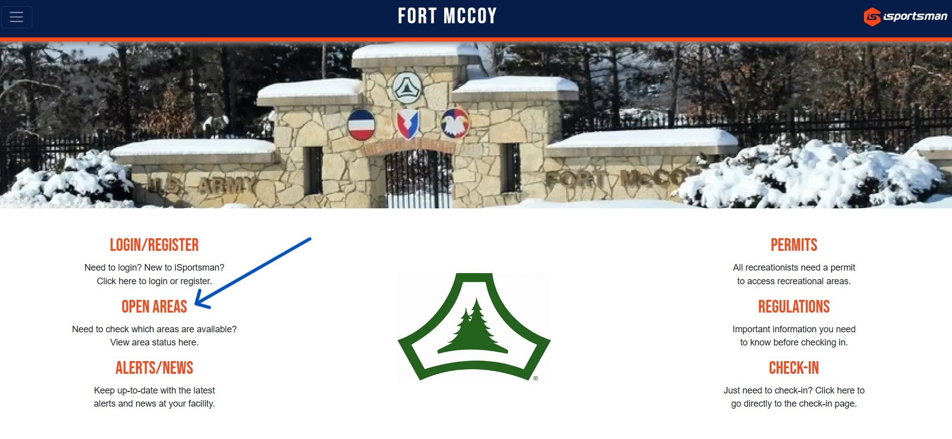
EVERYONE MUST USE ISPORTSMAN TO CHECK-IN/CHECK-OUT OF THEIR ACTIVITY INCLUDING NON-HUNTING AND NON-FISHING ACTIVITIES.
ANGLERS ARE NOT REQUIRED TO CHECK-IN/CHECK-OUT OF FISHING.